Opening the shelf…
Opening the shelf…
Book dossier
by Yoshio Yamaguchi
"Radar polarimetry has been used for the precise monitoring of Earth's surface. This book explains the basic polarimetry concept and its diverse applications such as deforestation, tree classification, landslide detection, tsunamis, volcano eruptions and ash distribution, snow accumulation, rice field monitoring, urban area exploration, ship detection, etc., using actual data sets taken by Advanced Land Observing Satellite (ALOS and ALOS2). Fully color-coded images generated by polarimetric techniques makes it easy to understand, and will help students and radar experts to use radar polarimetry in their academic and application fields"--
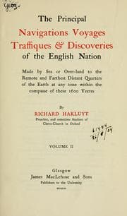
The principall navigations, voiages, and discoveries of the English nations
Richard Hakluyt